
Cyclone Murasu Crosses Andhra Coast Near Ongole With Winds of 100–110 kmph, Gusting to 120 kmph
Severe Cyclonic Storm Murasu crossed the south Andhra Pradesh coast between Nellore and Narsapur, close to Ongole, between 03:30 and 05:30 IST on Tuesday, 3 November 2026, the India Meteorological Department says. It was still a severe cyclonic storm inland at 05:30 IST and is expected to weaken through the day.
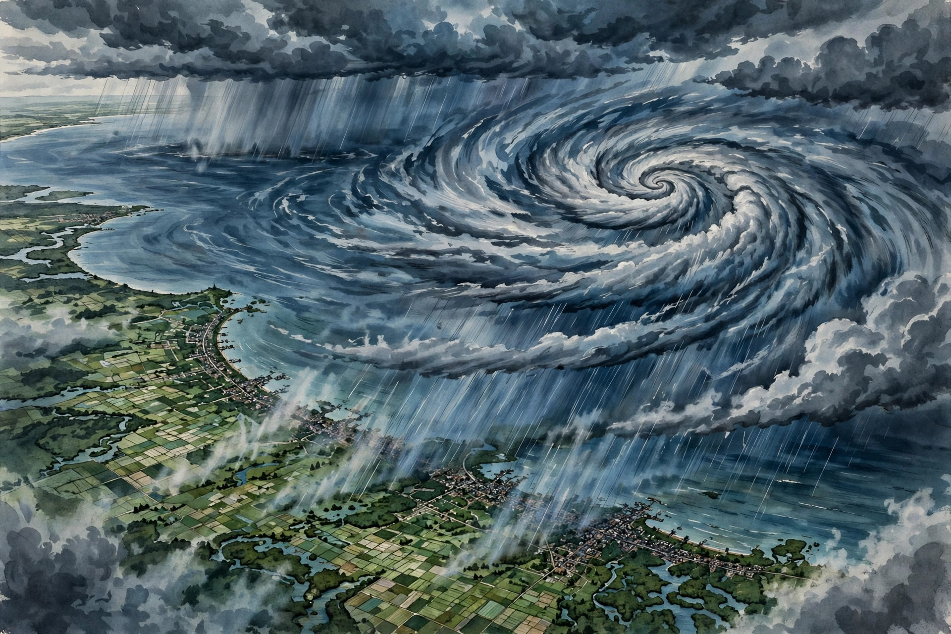
Severe Cyclonic Storm Murasu has crossed the south Andhra Pradesh coast, the India Meteorological Department (IMD) confirmed on Tuesday morning, 3 November 2026. The crossing completes the landfall that had been forecast for the stretch of coast between Nellore and Narsapur, and it came in as a severe cyclonic storm, not in a weakened form.
When and where Murasu crossed the coast
According to the IMD, Murasu crossed the south Andhra Pradesh coast between Nellore and Narsapur, close to Ongole, during 03:30 to 05:30 IST on 3 November 2026. The crossing point was given as near latitude 15.53°N and longitude 80.22°E, close to Ongole.
At 05:30 IST, the system was already inland, over south coastal Andhra Pradesh, near latitude 15.6°N and longitude 80.2°E. The IMD placed it about 40 km southwest of Bapatla, 80 km north-northeast of Kavali, 120 km west-southwest of Machilipatnam and 130 km north of Nellore. It was still classified as a severe cyclonic storm at that hour.
How strong it was at landfall
The IMD put the wind speed at the crossing at 100 to 110 kmph, gusting to 120 kmph. That figure is consistent across the narrative and the intensity table in the bulletins checked for this report: both give 100–110 kmph gusting to 120 kmph for 05:30 IST on 3 November, with the system still rated a severe cyclonic storm.
The system had been moving north-northwestwards before the crossing. It is now expected to continue in that direction while losing strength over land, rather than re-emerging over the sea.
What happens next: a discrepancy readers should know about
The IMD expects Murasu to weaken through Tuesday, but its own bulletin does not give a single identical account of the late-night stage, so the two versions are set out here rather than merged into one figure.
The narrative forecast says the system will weaken into a cyclonic storm, with winds of 80–90 kmph gusting to 100 kmph, by noon on 3 November, and further into a deep depression, with winds of 55–65 kmph gusting to 75 kmph, by midnight on 3 November.
The forecast table in the same bulletin gives a different late-night picture: a cyclonic storm of 65–75 kmph gusting to 85 kmph at 17:30 IST, then a depression — not a deep depression — of 40–50 kmph gusting to 60 kmph at 23:30 IST, followed by a well-marked low of 25–35 kmph gusting to 45 kmph at 05:30 IST on 4 November. The noon figure matches in both versions: a cyclonic storm of 80–90 kmph gusting to 100 kmph at 11:30 IST.
Until the IMD issues a later bulletin that settles the difference, the midnight stage should therefore be read as disputed within the bulletin itself: the narrative points to a deep depression at 55–65 kmph gusting to 75 kmph, while the table points to a depression at 40–50 kmph gusting to 60 kmph at 23:30 IST. What is not in dispute is the direction of travel — steady weakening through the day.
What people on the coast should still watch
Weakening does not mean the danger is over at once. Gale-force winds were still expected along and off the south Andhra Pradesh coast in the morning, easing gradually during the day, and fishermen have been advised not to venture along and off the Andhra Pradesh coast until the afternoon of 4 November, according to the IMD fishermen warning issued at 06:00 IST on 3 November.
Residents in coastal districts should continue to follow district and IMD updates through the day, particularly for rain and wind warnings as the system moves inland and loses strength. This article will be updated if a later IMD bulletin revises the crossing details or resolves the weakening forecast.
Note: figures in this article are preliminary and subject to revision in later IMD bulletins.